Topography
Page Content
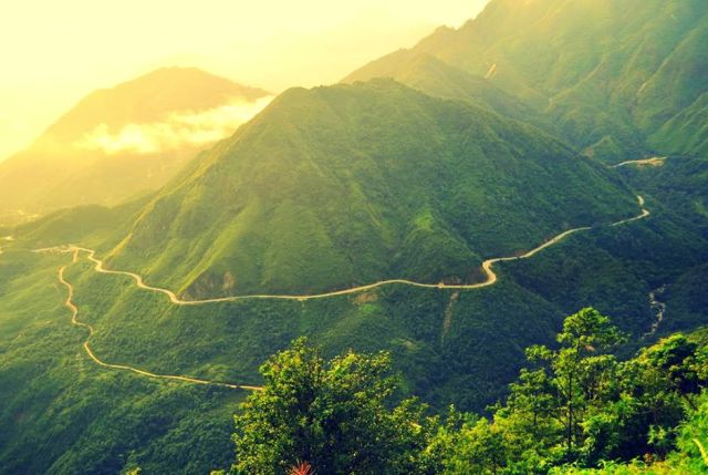
Pha Din Pass
Due to the influence of tectonic activities, Dien Bien's topography is very complicated, which consists mainly of steep, rugged and strongly divided hills. It is composed of mountains running in the Northwest - Southeast direction with altitudes ranging from 200m to more than 1,800m. The terrain is lower from north to south and gradually slopes from west to east. In the North, there are high points up to 1,085m, 1,162 m and 1,856 m (belonging to Muong Nhe district), the highest point is Pu Den Dinh with the height of 1,886m.
In the West, there are high points up to 1,127m, 1,649m, 1,860m and high point range from Muong Phang dragging down to Tuan Giao. The narrow and steep valleys and rivers are mixed with high mountains. In particular, there is a remarkable valley of Muong Thanh with the width of more than 150km2, which is the largest and most famous field of the province and the entire Northwest. The mountain was strongly eroded, creating quite wide plateaus such as A Pa Chai plateau (Muong Nhe district), Ta Phinh plateau (Tua Chua district). There are also terrain types of valleys, rivers, alluvial terraces, detrital cone, colluvium, karst caves..., which are widely distributed in the area with a small area.
Dienbien.gov.vn